


![]()

From Wikipedia, the free encyclopedia
"GIS" redirects here. For other uses, see GIS (disambiguation).
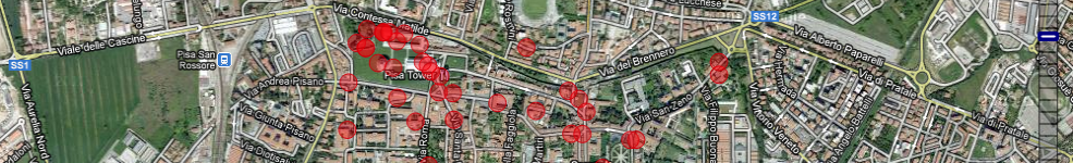
A geographic information system or geographical information system (GIS) is a system designed to capture, store, manipulate, analyze, manage, and present all types of spatial or geographical data. The acronym GIS is sometimes used for geographic information science (GIScience) to refer to the academic discipline that studies geographic information systems and is a large domain within the broader academic discipline of Geoinformatics.[1] What goes beyond a GIS is a spatial data infrastructure, a concept that has no such restrictive boundaries.
In a general sense, the term describes any information system that integrates, stores, edits, analyzes, shares, and displays geographic information. GIS applications are tools that allow users to create interactive queries (user-created searches), analyze spatial information, edit data in maps, and present the results of all these operations.[2][3] Geographic information science is the science underlying geographic concepts, applications, and systems.[4]
GIS is a broad term that can refer to a number of different technologies, processes, and methods. It is attached to many operations and has many applications related to engineering, planning, management, transport/logistics, insurance, telecommunications, and business.[3] For that reason, GIS and location intelligence applications can be the foundation for many location-enabled services that rely on analysis and visualization.
GIS can relate unrelated information by using location as the key index variable. Locations or extents in the Earth space–time may be recorded as dates/times of occurrence, and x, y, and z coordinates representing, longitude, latitude, and elevation, respectively. All Earth-based spatial–temporal location and extent references should, ideally, be relatable to one another and ultimately to a "real" physical location or extent. This key characteristic of GIS has begun to open new avenues of scientific inquiry.
| Link |
|---|